In this page you will find some GIS data of Ecuador, compiled and build by IRD/MS with SavGIS.
All data are free for scientific use. Please indicate
source and credit (Marc Souris, IRD) when you use it.
All data are SavGIS and ArcGIS compatible. All Shapefile vector data are in
geographic decimal degrees coordinate (long, lat). Datum is
PSA56 for Ecuador.
Provinces
Ecuador Provinces in 2001 : Shapefile and SavGIS vector format, zones (zipped, 330 Kb) --- Download
Cities
Ecuador major cities : Shapefile and SavGIS vector format, points (zipped, 6 Kb) --- Download
Volcanoes
Ecuador volcanoes : Shapefile and SavGIS vector format, points (zipped, 2 Kb) ---- Download
Landscape
Ecuador Landscape Map, from 1:1 000 000 Landscape Map (Pronareg, Orstom) : Shapefile and SavGIS vector format, zones (zipped, 1.2 Mb) ---- Download
Erosion
Ecuador Erosion Map, from 1:1 000 000 Erosion Map (Pronareg, Orstom) : Shapefile and SavGIS vector format, zones (zipped, 1.2 Mb) ---- Download
Ecuador DEMs
Ecuador DEMs from digitized topographic maps (1:50 000 and 1:100 000)
All DEMs were generated from manually digitized contour lines using SavGIS system (database contain 30 000 000 digitized points) . Original maps from IGM, Pronareg/Ingala/Orstom, PetroEcuador.
Datum is PSA56 for Ecuador. Projection is UTM zone 17* for Continental Ecuador, UTM Zone 15* for Galápagos. Elevation is in meters above see level. Files are in ArcView ASCII raster format. All files are zipped. If you want vector datas or different raster resolutions, please contact us (Marc.Souris@ird.fr).
*for each file, the Y Coordinate of lower point is UTM + 10,000,000 if in north hemisphere. You can edit the file to remove this offset. To use with Arcview or ArcGIS, you need also to remove 10,000,000 in south hemisphere.
Continental Ecuador from 1:25000, 1:50000 and 1:100000 IGM Topographic Maps, digitized by MS/IRD/MDMQ
Galápagos from 1:100000 Pronareg/Ingala/Orstom Maps, digitized by MS/MDMQ
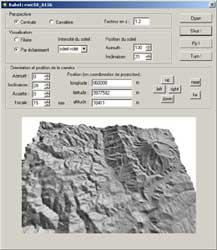
To see a DEM and to fly into the numerical landscapes, download BABEL v.1.2. This small software from Marc Souris (for Windows XP) is free. It's a small part of SavGIS, for 2D and 3D DEM visualization.
To display a DEM, first download it (see below), unzip the file, then open it in BABEL, and fly !
Version 1.2 can also display SRTM-9 DEM (USGS).
savBabel v.2.1 (2006)
- 30 m Resolution per pixel
Continental Ecuador, 502 DEM in total
DEM 30_Set 1 (25 Mb), UTM longitude from 480000 to 600000
DEM 30_Set 2 (90 Mb), UTM longitude from 624000 to 720000
DEM 30_Set 3 (95 Mb), UTM longitude from 744000 to 840000
DEM 30_Set 4 (30 Mb), UTM longitude from 864000 to 936000
DEM 30_Set 5 (16 Mb), UTM longitude from 960000 to 1128000
The name of each DEM include the coordinate of the left lower pixer center of the DEM. Inside the file, Y UTM coordinate of the left lower pixer center, if in southern hemisphere, is UTM standard - 10,000,000 (Arcview compatible).
- 50 m Resolution per pixel
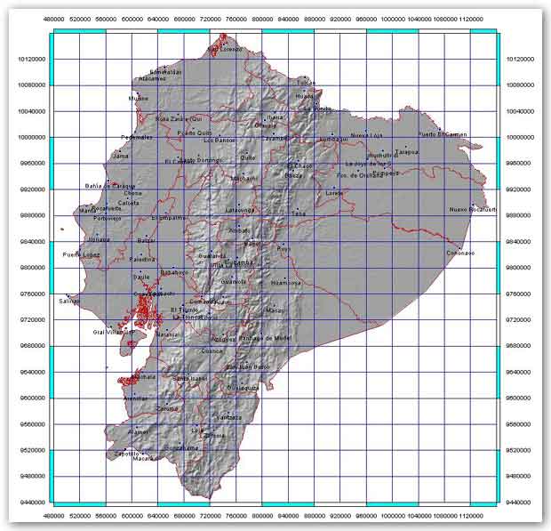
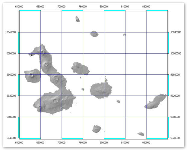
Click on the map to download the area you are interested in (each square is a downloadable area). Each area is 800*800 pixels whith a resolution of 50 m per pixel.
Continental Ecuador
Galápagos Islands
- 100 m Resolution per pixel
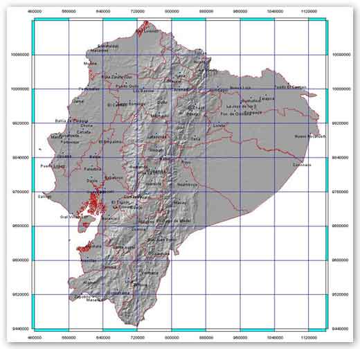
Click on the map to download the area you are interested in (each square is a downloadable area). Each area is 800*800 pixels whith a resolution of 100 m per pixel.
Continental Ecuador
Galápagos Islands
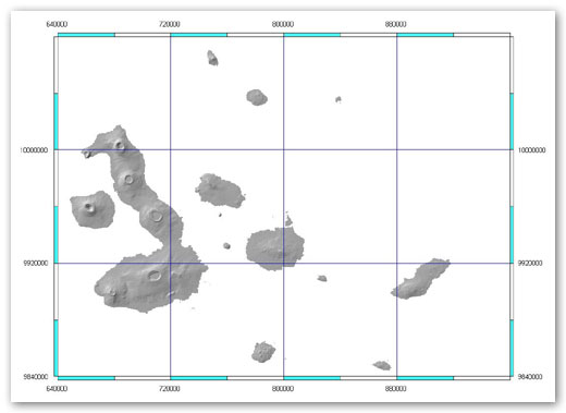
- 200 m Resolution per pixel
Click on the map to download the area you are interested in (each square is a downloadable area). Each area is 800*800 pixels whith a resolution of 200 m per pixel.
Continental Ecuador
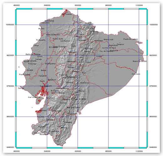
- 450 m Resolution per pixel
Click on the map to download the file (only one file for whole Ecuador : 2 Mb). This file is 1600*1600 pixels whith a resolution of 450 m per pixel..
Continental Ecuador


